A new city map pins 153 old photos to 82 Marietta spots, from Glover Park in 1890 to the Big Chicken, with Sanborn maps from 1885 and aerials from 1942.
The city of Marietta has put its history on a map. The new Historic Marietta Explorer pins old photographs to the places they show, so you can click a spot on the Square and see what it looked like a century ago.
The city’s GIS team built it, the city announced Monday. It is free and runs in a web browser.
What is on the map
We counted the map’s layers and its photo points on Monday. The map holds:
- 153 historic photos, attached to 82 camera points across the city
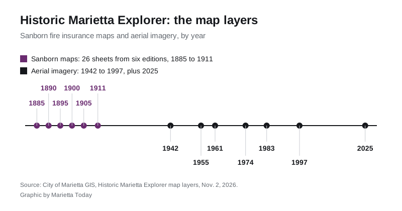
- 26 Sanborn fire insurance map sheets from six editions: 1885, 1890, 1895, 1900, 1905 and 1911
- aerial imagery from 1942, 1955, 1961, 1974, 1983 and 1997
- the city’s 2025 aerial imagery, to compare then and now
The figures come from the map’s photo layer and the map’s layer list. The city’s own announcement gives no counts.
The places you can look up
Many of the camera points sit on and around the Square: each side of Park Square, Glover Park, its stage and fountain, and Church Street. One photo shows Glover Park in 1890, when it was called City Park. Another shows a cotton sale on the Square in 1905.
Other points include:
- the Kennesaw House and the train depot
- the Strand and the old post office
- Wallace Candy Kitchen on Church Street
- the Brumby Chair Company building
- the Coca-Cola bottling building on Roswell Street
- Waterman Street School, Zion Baptist Church and Turner Chapel
- Clarke Library, Kennestone Hospital and the Big Chicken
A set of photos from 1993 shows Church Street, Mill Street, Whitlock Avenue and Polk Street as they looked then. That is recent enough that many readers will remember it.
The photos come from several collections, the map’s introduction says. They include the city, the Marietta History Center, the Marietta Fire Museum, the Digital Library of Georgia and the Library of Congress.
How to use it
Click a camera point on the map to scroll through the old photos from that spot. You can also scroll the list of locations on the right and jump to one. The layer list turns the Sanborn maps on and off. The imagery button switches between the aerial photos.
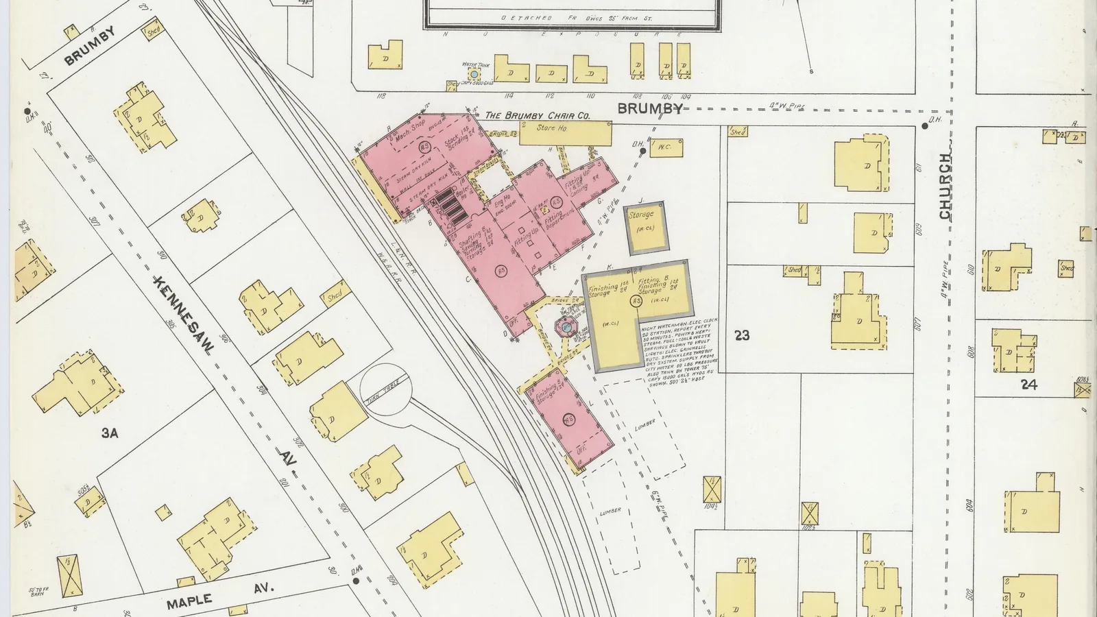
The Sanborn maps were drawn for fire insurers. They show each building’s outline, what it was made of and what it was used for. The 1905 sheet at the top of this page shows the Brumby Chair Co. works beside the railroad.
The map carries a note that the city does its best on the photo descriptions, but users should check anything they rely on.
What it means for you
If you have old photos of Marietta, the city wants them. The map has a “Submit Your Photos Here” form at the bottom of the page, and the city said it will consider adding readers’ pictures to the collection.
It is also a quick way to see what stood on your street before you did. If your street is on one of the Sanborn sheets, you can see which buildings stood there between 1885 and 1911.
Questions go to the city’s GIS division at GISDivision@mariettaga.gov or 770-794-5550, the contact the map lists.
For more on the city’s past, see our guide to Marietta history and landmarks and the things to do this month.
Have your say