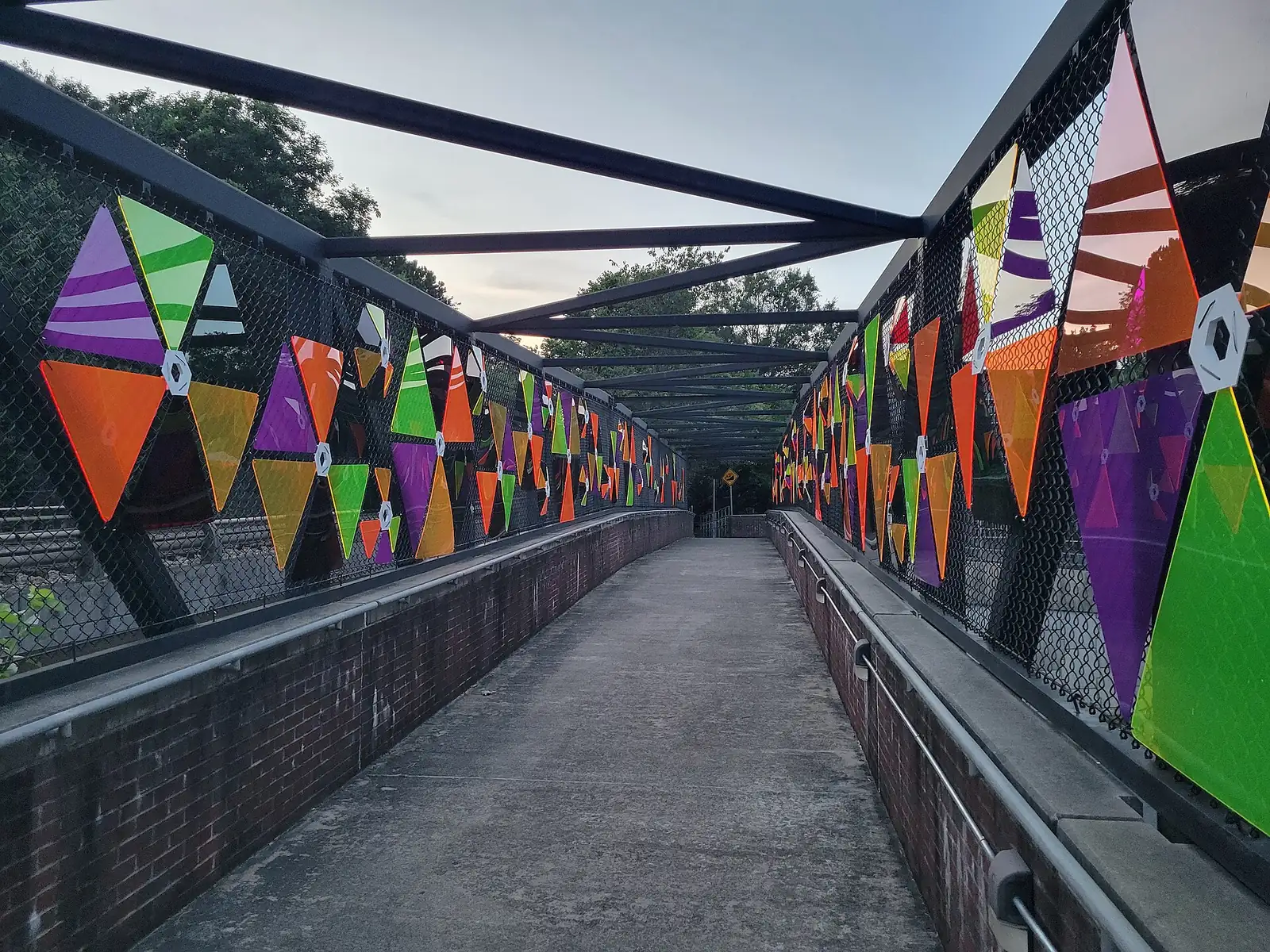
Walking and biking in Marietta: the Mountain to River Trail, Kennesaw Mountain's trails with distances, the Burruss bike trails and city park loops.
Last checked Oct. 5, 2026. Distances and rules come from the City of Marietta and the National Park Service, linked below. Trail conditions change after rain; check before you go.
Marietta sits between Kennesaw Mountain and the Chattahoochee River, and a growing trail network ties the two together, with the historic Square in the middle.
Who to call
- City trails and parks: Marietta Parks and Recreation, 770-794-5601
- Kennesaw Mountain visitor center: 770-427-4686
- Emergency: 911
Maps: the city’s multi-use trail map (PDF) and the park’s trail maps.
Mountain to River (M2R) Trail
The M2R Trail runs 13.5 miles from Kennesaw Mountain National Battlefield Park to the Chattahoochee River National Recreation Area. Inside Marietta it covers 3.5 miles, from Kennesaw Mountain south to the Kennestone Hospital area, on to the Square and then to Brown Park and the City Cemetery. Beyond the city it connects to the Noonday Creek trails north of the mountain and to the Silver Comet Trail by way of Smyrna, according to the city’s trail planning page. It is a shared, multimodal path: walk, run or bike.
Kennesaw Mountain National Battlefield Park
The park has more than 22 miles of maintained trails, mostly hard-packed dirt, according to the National Park Service. Distances and times from the park’s hiking page:
| Trail | Distance | Time | Start |
|---|---|---|---|
| Environmental Trail | 1.3-mile loop | 30 minutes | Visitor center picnic area |
| Kennesaw Mountain Trail | 2.2 miles out and back | 1 hour | Visitor center |
| 24-Gun Battery Trail | 3 miles out and back | 1 hour | From the Environmental Trail |
| Noses Creek Loop (yellow) | 3.6 miles | 2.5 hours | Burnt Hickory parking lot |
| Kolb’s Farm Loop (blue) | 5.1-mile loop | 3.5 hours | Activity Area 3 or Cheatham Hill |
| Kennesaw Mountain Loop (red) | 5.8-mile loop | 2.5 to 3 hours | Visitor center |
| Full Park Loop (green) | 16-mile loop | 6 hours or more | Via the Kennesaw Mountain Loop |
- Getting to the top: the mountain road has been closed to personal vehicles since January 2026. A free shuttle runs up every half hour from 10 a.m. to noon and 1 to 4 p.m., seven days a week; parking fees apply. Cyclists may ride a designated lane from 7:30 to 9:30 a.m. and 4:30 to 6:30 p.m. in winter, and to 8:30 p.m. in summer, according to the park’s hours page.
- Park hours: grounds open 6:30 a.m. to 6:30 p.m. in standard time (November to March); gated lots post their closing times, and cars left after closing can be towed.
- Stay on marked trails: the park says any path not on its map is not a legal trail.
- Dogs are welcome on a leash no longer than 6 feet. More in our dog-friendly guide.
- Accessibility: the park offers an all-terrain track chair on designated trails through All-Terrain Georgia.
A.L. Burruss Nature Trail: beginner bike trails
The 45-acre A.L. Burruss Nature Trail has trails for hikers, runners and bicyclists, which the city calls a good place for beginners to practice off-road riding. Park at Wildwood Park, 1050 Barclay Circle. The rules, from the city’s Burruss page:
- Open during daylight hours only.
- Bikes only on designated trails, and every rider must wear a helmet.
- Some trails run one way; check the sign at the trailhead.
Easy loops in city parks
| Park | Loop | Address |
|---|---|---|
| Laurel Park | 1-mile walking track; two ponds | 151 Manning Road |
| Wildwood Park | 1-mile jogging trail | 1050 Barclay Circle |
| Tumlin Park at Hickory Hills | About half a mile, paved; bikes allowed | 400 Chestnut Hill Road |
| Henry Memorial Park | About one-fifth of a mile | 81 Reynolds St. |
Coming next: Rottenwood Creek Trail
The city scheduled the groundbreaking for Phase 1 of the Rottenwood Creek Trail for Sept. 18, 2026: a three-mile section from Alumni Drive on Kennesaw State University’s Marietta campus east to Franklin Gateway at the Franklin Gateway Sports Complex, an estimated $17 million project, according to the city’s announcement. Phase 2 will cross I-75 toward the Bob Callan trailhead on Terrell Mill Road, creating an east-west link between Kennesaw Mountain and the Chattahoochee River. We will update this page when sections open.
What this means for you
- For a short, flat walk, use Laurel Park’s 1-mile track; for a real climb, the Kennesaw Mountain Trail from the visitor center.
- Park at Kennesaw Mountain only in posted lots and leave before closing time.
- Ride the Burruss trails or the M2R for off-road and paved biking inside the city.
Related: parks and trails, dog-friendly Marietta, getting around and free things to do.
Frequently asked questions
How long is the Mountain to River Trail?
13.5 miles, from Kennesaw Mountain National Battlefield Park to the Chattahoochee River National Recreation Area. About 3.5 miles run through the city of Marietta, past Kennestone Hospital and the Square to Brown Park and the City Cemetery.
What is the hardest hike at Kennesaw Mountain?
The longest is the 16-mile Full Park Loop, green blazed, which the park says takes six hours or more. The 5.8-mile Kennesaw Mountain Loop takes about 2.5 to 3 hours.
Where can I mountain bike in Marietta?
The A.L. Burruss Nature Trail has family-friendly trails open to bicyclists, parked from Wildwood Park, 1050 Barclay Circle. Helmets are required, bikes must stay on designated trails, and the trails are open during daylight only.
Can I drive to the top of Kennesaw Mountain?
The park says the mountain road has been closed to personal vehicles since January 2026. A free shuttle runs to the top every half hour; bicyclists may use a designated lane at set hours.
What is the Rottenwood Creek Trail?
A new city trail. Phase 1, a three-mile section from Kennesaw State’s Marietta campus east to the Franklin Gateway Sports Complex, had a groundbreaking set for Sept. 18, 2026, and will link the Mountain to River Trail toward the Bob Callan Trail.
Have your say