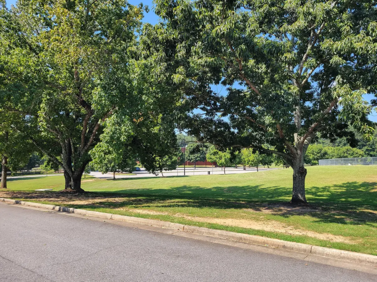
Southwest Marietta along Powder Springs Street and Sandtown Road: ZIPs 30008 and 30064, zoned to Dunleith or Hickory Hills Elementary, I-75 exit 263.
Last checked Oct. 5, 2026. Sources: the City of Marietta’s 2022 Comprehensive Plan (PDF), its parcel map data, subdivisions and apartments layer and parks map data, the state’s 2025 School Grades data, Zillow Research, CobbLinc schedule data and OpenStreetMap.
Powder Springs Street leaves Marietta Square heading southwest and becomes Powder Springs Road past the city’s edge. The southwest side of the city spreads out on both sides of it and along Sandtown Road, with two of the city’s elementary schools, Dunleith and Hickory Hills, and two community parks. The city’s subdivisions and apartments layer lists 61 subdivisions and 17 apartment complexes with 1,586 units here.
What this means for you
- Zoned high school: Marietta High, like every address in the city. Elementary school is split between Dunleith and Hickory Hills; check one address with the city’s property search tool.
- Home value: $327,811 typical value in ZIP 30008 and $494,697 in ZIP 30064 in August 2026, according to the Zillow Home Value Index.
- Nearest I-75 exit: exit 263, South Marietta Parkway (Georgia 120 Loop).
Part of our Marietta neighborhoods guide.
Where it is
The city’s 2022 Comprehensive Plan (PDF) names a Powder Springs Gateway area. It says the area “addresses the need for new investment and major redevelopment in a declining gateway into Downtown Marietta and envisions a new neighborhood center at Powder Springs Street and Sandtown Road.”
This page covers the city’s parcels south of the Whitlock Avenue area and west of the Manget area, out to the city limits. Fair Oaks, an unincorporated community that Cobb County governs, borders it to the south; an address there is outside the city even when it says Marietta.
ZIP codes in the city’s parcel data: 30008 for 53% of parcels and 30064 for 45%.
Schools
The area is inside the city, so it is served by Marietta City Schools. Dunleith Elementary, at 120 Saine Drive, and Hickory Hills Elementary, at 500 Redwood Drive SW, are both here. The share column is the share of parcels in this area zoned to each school in the city’s parcel data; the score is the school’s 2025 College and Career Ready Performance Index (CCRPI) from the state’s School Grades report.
| Level | School | Share of parcels | 2025 CCRPI |
|---|---|---|---|
| Elementary | Dunleith Elementary, 120 Saine Drive (report card) | 54% | 86.2 |
| Elementary | Hickory Hills Elementary, 500 Redwood Drive SW (report card) | 43% | 77.6 |
| Sixth grade | Marietta Sixth Grade Academy (report card) | All | 82.2 |
| Middle | Marietta Middle (report card) | All | 78.6 |
| High | Marietta High (report card) | All | 79.8 |
Another 3% of parcels are zoned to A.L. Burruss Elementary. Homes in Fair Oaks and elsewhere outside the city are in the Cobb County School District. More in our schools guide.
Home values
From the Zillow Home Value Index for August 2026, a modeled typical value for the middle third of homes, not a sale price:
| ZIP code | Share of area parcels | Typical value, Aug. 2026 | Change from Aug. 2025 |
|---|---|---|---|
| 30008 | 53% | $327,811 | -1.87% |
| 30064 | 45% | $494,697 | -0.38% |
Both ZIP codes also cover homes outside the city. The citywide figure for Marietta was $471,117, down 1.17% on the year. More in our home prices guide.
Parks and trails
From the city’s parks map data:
- Fair Oaks Park, 1465 Bradon Drive, 39.29 acres.
- Tumlin Park at Hickory Hills, 400 Chestnut Hill Road, 10.81 acres.
- Powder Springs Street Greenspace, 1101 Powder Springs St., 2.35 acres.
- Marietta City Club, 519 Powder Springs St., a 120-acre golf course, on the north edge.
See our parks guide and walking and biking trails guide.
Getting around
- I-75: exit 263, South Marietta Parkway (Georgia 120 Loop), reached along the parkway.
- Downtown: about 2.4 miles by road from the middle of the area to the Square.
- Airport: Hartsfield-Jackson Atlanta International Airport is about 29 miles by road. Both figures are distances measured on the OpenStreetMap road network with the OSRM routing engine, not drive times.
- Buses: CobbLinc route 15 runs along Powder Springs Street, with stops at Bellemeade Drive, Booth Road and Chestnut Hill Road, among others, according to CobbLinc’s published schedule data. See CobbLinc’s routes page.
More in our getting around guide.
Groceries and everyday stores
From OpenStreetMap, inside the city limits:
- ALDI, 1260 Powder Springs Road
- CVS Pharmacy, 1295 Powder Springs Road
- Grocery Outlet, 796 Sandtown Road
How we drew this area
The area is the city parcels south of the Whitlock Avenue area and west of the Manget area, out to the city limits. The comprehensive plan names the Powder Springs Gateway but does not publish a parcel boundary, so edges are approximate. School and ZIP shares count every parcel in that area in the city’s parcel data on Oct. 5, 2026; subdivision and apartment counts come from the city’s subdivisions and apartments layer on the same date. Store locations are © OpenStreetMap contributors.
Frequently asked questions
What elementary schools serve southwest Marietta?
Dunleith Elementary is zoned for 54% of parcels in this area and Hickory Hills Elementary for 43%, in the city’s parcel data. Both schools are in the area. Every city address is zoned to Marietta High.
What ZIP codes are in southwest Marietta?
In the city’s parcel data, 53% of the area’s parcels are in 30008 and 45% are in 30064. Zillow put the typical home value at $327,811 in 30008 and $494,697 in 30064 in August 2026.
What does the city plan for Powder Springs Street?
The 2022 Comprehensive Plan names a Powder Springs Gateway area and envisions a new neighborhood center at Powder Springs Street and Sandtown Road.
What parks are in southwest Marietta?
Fair Oaks Park, 39.29 acres at 1465 Bradon Drive, and Tumlin Park at Hickory Hills, 10.81 acres at 400 Chestnut Hill Road, according to the city’s parks map data.
Have your say