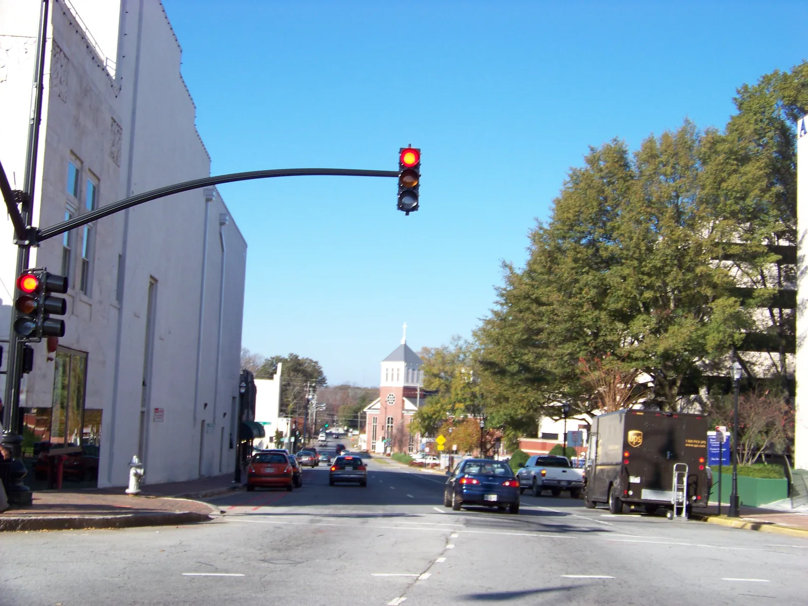
The Church-Cherokee and Forest Hills historic districts north of the Square: ZIP 30060, mostly zoned to West Side Elementary, I-75 exit 265.
Last checked Oct. 5, 2026. Sources: the City of Marietta’s historic districts page and the Church-Cherokee Street National Register nomination (PDF), the city’s 2022 Comprehensive Plan (PDF), parcel map data, neighborhoods map layer and parks map data, the state’s 2025 School Grades data, Zillow Research, CobbLinc schedule data and OpenStreetMap.
Church Street and Cherokee Street run north from Marietta Square, side by side. The blocks along and between them hold some of the city’s oldest homes. The federal nomination for the Church Street-Cherokee Street Historic District describes “an area of historic one- and two-story houses surrounded by fine lawns and tall trees,” and calls its mature tree cover a defining feature.
What this means for you
- Zoned high school: Marietta High, like every address in the city. Most of the area is zoned to West Side Elementary; check one address with the city’s property search tool.
- Home value: $344,408 typical value in ZIP 30060 in August 2026, according to the Zillow Home Value Index.
- Nearest I-75 exit: exit 265, North Marietta Parkway.
Part of our Marietta neighborhoods guide.
Where it is
This page covers three areas the city names on its own maps, all just north and northeast of the Square:
- The Church-Cherokee Streets Historic District, one of the city’s four locally designated districts, listed on the city’s historic districts page. Its National Register counterpart runs along both streets. The nomination (PDF) says Victorian, Greek Revival, Dutch Colonial, Neo-classical and “cottage” styles are represented “in both high style and simple examples.”
- The Forest Hills Historic District, another local district, east of Cherokee Street.
- Cherokee Heights, the name the city’s neighborhoods map layer gives the streets around and east of the two corridors.
In the city’s parcel data, 92% of parcels here are in ZIP code 30060 and 7% in 30064. Exterior changes inside the two local districts go to the city’s Historic Board of Review first; see our building permits and zoning guide.
The city’s 2022 Comprehensive Plan (PDF) sets guidelines for its Community Service and Institutional land-use category, which covers hospitals, schools and government buildings and which the plan says is “primarily located near Downtown.” One of them: proposals should protect “the character and integrity of the Church/Cherokee Historic District.” The plan names Wellstar Kennestone Hospital as the city’s regional hospital, with a Level II trauma center.
Schools
The area is inside the city, so it is served by Marietta City Schools. Only the elementary school changes by address. The share column is the share of parcels in this area zoned to each school in the city’s parcel data; the score is the school’s 2025 College and Career Ready Performance Index (CCRPI) from the state’s School Grades report.
| Level | School | Share of parcels | 2025 CCRPI |
|---|---|---|---|
| Elementary | West Side Elementary, 344 Polk St. NW (report card) | 76% | 91.8 |
| Elementary | A.L. Burruss Elementary, 325 Manning Road (report card) | 15% | 93.3 |
| Elementary | Sawyer Road Elementary, 840 Sawyer Road (report card) | 9% | 83.2 |
| Sixth grade | Marietta Sixth Grade Academy (report card) | All | 82.2 |
| Middle | Marietta Middle (report card) | All | 78.6 |
| High | Marietta High (report card) | All | 79.8 |
The district’s elementary choice window runs Nov. 1 to 15. More in our schools guide.
Home values
The typical home value in ZIP 30060 was $344,408 in August 2026, down 1.43% from $349,422 in August 2025, according to the Zillow Home Value Index. The index is a modeled typical value for the middle third of homes, not a sale price. ZIP 30060 also covers downtown and much of the south and east side of the city, so the figure is not this area alone. The citywide figure for Marietta was $471,117, down 1.17% on the year. More in our home prices guide.
Parks and trails
From the city’s parks map data:
- Elizabeth Porter Park, 370 Montgomery St., 4.55 acres. The comprehensive plan lists its rebuilding as completed in August 2018.
- Joanne Woodward Park, 195 Blackwell Lane, a quarter-acre park.
- Lewis Park, 475 Campbell Hill St., about half a mile west, covered on our Northwest Marietta page.
Glover Park on the Square is a short walk south. See our parks guide.
Getting around
- I-75: exit 265, North Marietta Parkway, the exit the city’s directions page gives for downtown.
- Downtown: about 1.1 miles by road from the middle of the area to the Square.
- Airport: Hartsfield-Jackson Atlanta International Airport is about 29 miles by road. Both figures are distances measured on the OpenStreetMap road network with the OSRM routing engine, not drive times.
- Buses: CobbLinc route 40 runs along Cherokee Street, with stops at Forest Avenue, Chicopee Drive and Freyer Road, according to CobbLinc’s published schedule data. See CobbLinc’s routes page.
More in our getting around guide.
Groceries and everyday stores
OpenStreetMap lists no supermarket or pharmacy inside this area. The nearest it lists are:
- Lacey’s Marietta Pharmacy, 790 Church St., just north, on our Elizabeth page
- Walgreens, 23 S. Marietta Parkway, and CVS Pharmacy, 300 Powder Springs St., downtown
How we drew this area
The area combines the city’s Church-Cherokee and Forest Hills local districts, the Church-Cherokee National Register district and the Cherokee Heights polygon in the city’s neighborhoods layer, plus the few blocks between them and the parkway loop. School and ZIP shares count every parcel in that area in the city’s parcel data on Oct. 5, 2026. Store locations are © OpenStreetMap contributors.
Frequently asked questions
What is the Church Street-Cherokee Street Historic District?
It is a National Register historic district north of Marietta Square. Its nomination describes historic one- and two-story houses with lawns and tall trees, in Victorian, Greek Revival, Dutch Colonial, Neo-classical and cottage styles. The city also protects it as a local historic district.
What elementary school serves Church Street and Cherokee Street in Marietta?
Most of the area is zoned to West Side Elementary: 76% of parcels in the city’s parcel data. Another 15% go to A.L. Burruss and 9% to Sawyer Road. Every city address is zoned to Marietta High.
What ZIP code is the Church-Cherokee area of Marietta?
Nearly all of it, 92% of parcels, is in ZIP code 30060. Zillow’s typical home value for 30060 was $344,408 in August 2026, down 1.43% in a year.
Is there a bus on Cherokee Street in Marietta?
Yes. CobbLinc route 40 stops along Cherokee Street, including at Forest Avenue, Chicopee Drive and Freyer Road, according to CobbLinc’s schedule data.
Have your say