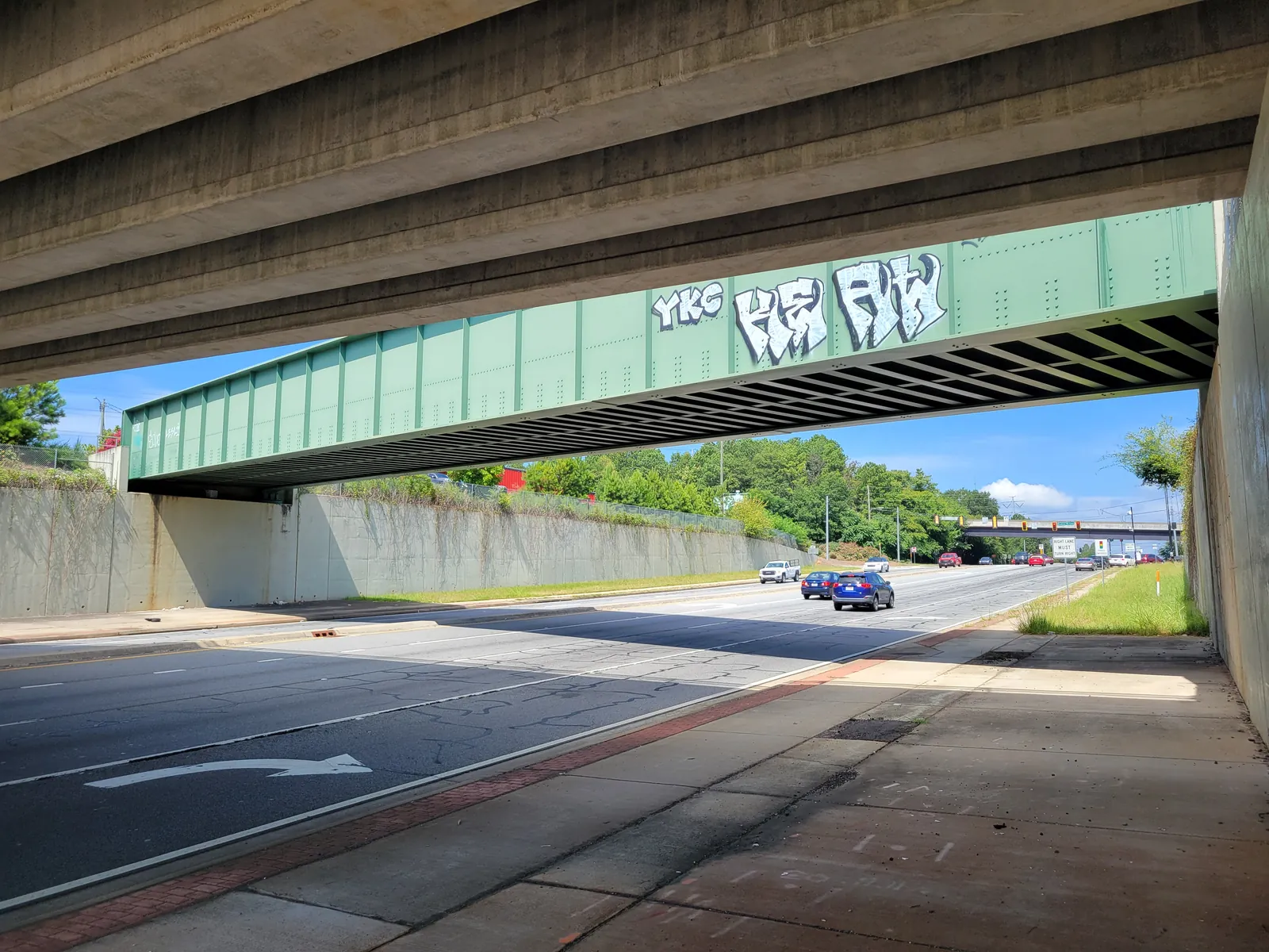
Elizabeth, north of the parkway along Church Street Extension and Cobb Parkway: four ZIP codes, zoned to West Side or Sawyer Road Elementary, I-75 exit 267.
Last checked Oct. 5, 2026. Sources: the City of Marietta’s parcel map data, subdivisions and apartments layer and parks map data, the state’s 2025 School Grades data, Zillow Research, CobbLinc schedule data and OpenStreetMap.
North of North Marietta Parkway, Church Street becomes Church Street Extension and runs on toward Cobb Parkway, with Cherokee Street to the east and the railroad alongside. OpenStreetMap names the place here Elizabeth. It is inside the city limits: homes and apartments, with businesses along U.S. 41. The city’s subdivisions and apartments layer lists 20 subdivisions and six apartment complexes with 501 units in this area.
What this means for you
- Zoned high school: Marietta High, like every address in the city. Elementary school is split between West Side and Sawyer Road; check one address with the city’s property search tool.
- Home value: $344,408 typical value in ZIP 30060 in August 2026, according to the Zillow Home Value Index.
- Nearest I-75 exits: exit 267B, Georgia 5 Spur toward U.S. 41, and exit 265, North Marietta Parkway.
Part of our Marietta neighborhoods guide.
Where it is
The city’s plans do not draw a district here, so this page follows the name on the map: OpenStreetMap places Elizabeth at Church Street Extension, inside the city limits, and photographers on Wikimedia Commons label pictures along Cobb Parkway and the railroad here “Elizabeth, Georgia.” The area runs from North Marietta Parkway north to the city limits, between the Northwest Marietta area to the west and I-75 to the east.
City limits here are uneven, as the map on our neighborhoods guide shows. Check the tax district on any address before you count on city services; our moving guide explains how.
ZIP codes in the city’s parcel data: 30060 for 53% of parcels, 30062 for 19%, 30066 for 18% and 30064 for 8%.
Schools
The area is inside the city, so it is served by Marietta City Schools. The share column is the share of parcels in this area zoned to each school in the city’s parcel data; the score is the school’s 2025 College and Career Ready Performance Index (CCRPI) from the state’s School Grades report.
| Level | School | Share of parcels | 2025 CCRPI |
|---|---|---|---|
| Elementary | West Side Elementary, 344 Polk St. NW (report card) | 60% | 91.8 |
| Elementary | Sawyer Road Elementary, 840 Sawyer Road (report card) | 40% | 83.2 |
| Sixth grade | Marietta Sixth Grade Academy (report card) | All | 82.2 |
| Middle | Marietta Middle (report card) | All | 78.6 |
| High | Marietta High (report card) | All | 79.8 |
Homes outside the city limits nearby are in the Cobb County School District. More in our schools guide.
Home values
From the Zillow Home Value Index for August 2026, a modeled typical value for the middle third of homes, not a sale price:
| ZIP code | Share of area parcels | Typical value, Aug. 2026 | Change from Aug. 2025 |
|---|---|---|---|
| 30060 | 53% | $344,408 | -1.43% |
| 30062 | 19% | $552,874 | -0.52% |
| 30066 | 18% | $442,144 | -2.15% |
| 30064 | 8% | $494,697 | -0.38% |
ZIP codes 30062 and 30066 are mostly outside the city, in east Cobb County, so their figures say little about the city blocks here. The citywide figure for Marietta was $471,117, down 1.17% on the year. More in our home prices guide.
Parks and trails
The city’s parks map data shows no city park inside this area. The nearest are:
- Lewis Park, 475 Campbell Hill St., 6.87 acres, to the southwest.
- Custer Park, 545 and 600 Kenneth E. Marcus Way, to the southeast.
- Elizabeth Porter Park, 370 Montgomery St., to the south.
See our parks guide.
Getting around
- I-75: exit 267B, which ramp signs in OpenStreetMap show as Georgia 5 Spur south toward Marietta and U.S. 41, and exit 267A, Canton Road. Exit 265, North Marietta Parkway, is to the south.
- Downtown: about 1.6 miles by road from the middle of the area to the Square.
- Airport: Hartsfield-Jackson Atlanta International Airport is about 29 miles by road. Both figures are distances measured on the OpenStreetMap road network with the OSRM routing engine, not drive times.
- Buses: according to CobbLinc’s published schedule data, route 40 stops on Cherokee Street, including at Canton Road and Lewis Drive, and on Church Street Extension at Elizabeth Street; route 45 runs along Cobb Parkway, with stops at Allgood Road and Bells Ferry Road. See CobbLinc’s routes page.
More in our getting around guide.
Groceries and everyday stores
From OpenStreetMap, inside the city limits:
- Lacey’s Marietta Pharmacy, 790 Church St.
OpenStreetMap lists no supermarket inside the area. The nearest it lists in the city are on Cobb Parkway South and Whitlock Avenue; see our Victory/Aviation and Whitlock Avenue pages.
How we drew this area
The area is the city parcels north of North Marietta Parkway and the Church-Cherokee area, west of I-75 and east of the Northwest Marietta area. The name comes from OpenStreetMap; no city plan draws a boundary, so edges are approximate. School and ZIP shares count every parcel in that area in the city’s parcel data on Oct. 5, 2026; subdivision and apartment counts come from the city’s subdivisions and apartments layer on the same date. Store locations are © OpenStreetMap contributors.
Frequently asked questions
Where is Elizabeth in Marietta?
North of North Marietta Parkway, around Church Street Extension, Cherokee Street and Cobb Parkway, west of I-75. OpenStreetMap names the place Elizabeth, and it is inside Marietta city limits.
What elementary school serves the Elizabeth area of Marietta?
In the city’s parcel data, 60% of the area’s parcels are zoned to West Side Elementary and 40% to Sawyer Road Elementary. Every city address is zoned to Marietta High.
What ZIP codes are in the Elizabeth area?
Four: 30060 for 53% of parcels, 30062 for 19%, 30066 for 18% and 30064 for 8%. Zillow put the typical home value in 30060 at $344,408 in August 2026.
Which buses serve the Elizabeth area?
CobbLinc route 40 stops on Cherokee Street and Church Street Extension, and route 45 runs along Cobb Parkway, according to CobbLinc’s schedule data.
Have your say