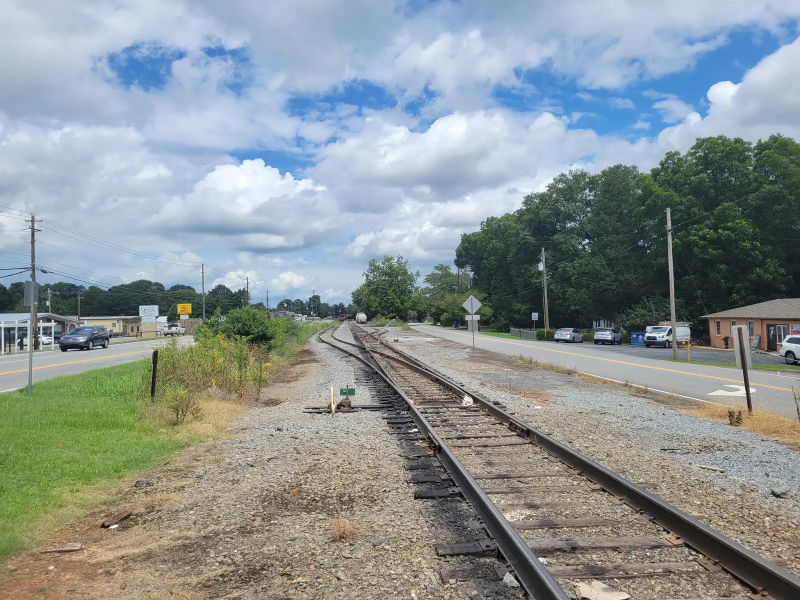
Marietta east of I-75 along Sawyer, Merritt and Roswell roads: mostly ZIP 30062, zoned to Sawyer Road or Lockheed Elementary, I-75 exits 265 and 267A.
Last checked Oct. 5, 2026. Sources: the City of Marietta’s parcel map data, subdivisions and apartments layer and parks map data, the state’s 2025 School Grades data, Zillow Research, CobbLinc schedule data and OpenStreetMap.
Marietta’s city limits do not stop at I-75. East of the interstate, the city takes in residential streets along Sawyer Road, Merritt Road, Roswell Road and Gresham Road, with two of the city’s elementary schools and Merritt Park. The city’s subdivisions and apartments layer lists 64 subdivisions and eight apartment complexes with 2,727 units here. OpenStreetMap names one place inside it Westoak.
What this means for you
- Zoned high school: Marietta High, like every address in the city. Elementary school is split between Sawyer Road and Lockheed; check one address with the city’s property search tool.
- Home value: $552,874 typical value in ZIP 30062 in August 2026, according to the Zillow Home Value Index.
- Nearest I-75 exits: exit 265, North Marietta Parkway and Roswell Road, and exit 267A, Canton Road.
Part of our Marietta neighborhoods guide.
Where it is
No city plan names a district here, so this page takes its name from Sawyer Road, the street that gives the area’s elementary school its name. It covers every city parcel east of I-75 from about Lower Roswell Road north to the city limits. South of that, the city’s land along I-75 is on our Franklin Gateway page.
City parcels here sit next to unincorporated Cobb County streets, and a Marietta mailing address here is often outside the city, with Cobb County schools, police and fire. Check the tax district on any address before you count on city services; our moving guide explains how.
ZIP codes in the city’s parcel data: 30062 for 54% of parcels, 30066 for 25%, 30067 for 12% and 30068 for 4%.
Schools
The area is inside the city, so it is served by Marietta City Schools. Sawyer Road Elementary and Lockheed Elementary are both here. The share column is the share of parcels in this area zoned to each school in the city’s parcel data; the score is the school’s 2025 College and Career Ready Performance Index (CCRPI) from the state’s School Grades report.
| Level | School | Share of parcels | 2025 CCRPI |
|---|---|---|---|
| Elementary | Sawyer Road Elementary, 840 Sawyer Road (report card) | 60% | 83.2 |
| Elementary | Lockheed Elementary, 1205 Merritt Road (report card) | 40% | 70.3 |
| Sixth grade | Marietta Sixth Grade Academy (report card) | All | 82.2 |
| Middle | Marietta Middle (report card) | All | 78.6 |
| High | Marietta High (report card) | All | 79.8 |
The sixth grade academy, middle school and high school are all west of I-75. More in our schools guide.
Home values
From the Zillow Home Value Index for August 2026, a modeled typical value for the middle third of homes, not a sale price:
| ZIP code | Share of area parcels | Typical value, Aug. 2026 | Change from Aug. 2025 |
|---|---|---|---|
| 30062 | 54% | $552,874 | -0.52% |
| 30066 | 25% | $442,144 | -2.15% |
| 30067 | 12% | $404,850 | -1.53% |
All three ZIP codes reach far into unincorporated east Cobb County, so the figures describe much more than the city’s streets here. The citywide figure for Marietta was $471,117, down 1.17% on the year. More in our home prices guide.
Parks and trails
From the city’s parks map data:
- Merritt Park, 501 Wallace Road, 5.1 acres.
- Merritt Road Greenspace, 751 Merritt Road, 21.17 acres.
- Whitaker Park, 1540 Holcomb Lake Road, 2.33 acres.
- Marietta Golf Center, 1701 Gresham Road, a 21.94-acre golf practice center.
See our parks guide.
Getting around
- I-75: exit 265, where ramp signs in OpenStreetMap point to Georgia 120 Alternate toward Marietta and Roswell, and exit 267A, Canton Road (Georgia 5 Spur).
- Downtown: about 3.3 miles by road from the middle of the area to the Square.
- Airport: Hartsfield-Jackson Atlanta International Airport is about 30 miles by road. Both figures are distances measured on the OpenStreetMap road network with the OSRM routing engine, not drive times.
- Buses: CobbLinc’s published schedule data shows one stop inside this area, route 40 on Bells Ferry Road at Oak Harbor Trail. Route 50 stops on Gresham Road and Roswell Street just west of I-75. See CobbLinc’s routes page.
More in our getting around guide.
Groceries and everyday stores
From OpenStreetMap, inside the city limits:
- Publix, 1860 Sandy Plains Road
- East Marietta Drugs, 1480 Roswell Road
How we drew this area
The area is every city parcel east of I-75 north of the Franklin Gateway area. No city plan draws a boundary, so the name comes from Sawyer Road and edges are approximate. School and ZIP shares count every parcel in that area in the city’s parcel data on Oct. 5, 2026; subdivision and apartment counts come from the city’s subdivisions and apartments layer on the same date. Store locations are © OpenStreetMap contributors.
Frequently asked questions
What part of Marietta is east of I-75?
The city limits cross I-75 and take in streets along Sawyer Road, Merritt Road, Roswell Road and Gresham Road. Those addresses are inside Marietta, with city police, city schools and a city tax bill, while some neighboring streets are in unincorporated Cobb County.
What elementary schools serve Marietta east of I-75?
Sawyer Road Elementary, at 840 Sawyer Road, is zoned for 60% of the area’s parcels in the city’s parcel data and Lockheed Elementary, at 1205 Merritt Road, for 40%. Every city address is zoned to Marietta High.
What ZIP codes are in the Sawyer Road area?
Mostly 30062, with 54% of parcels, then 30066 with 25% and 30067 with 12%. Zillow put the typical home value in 30062 at $552,874 in August 2026, down 0.52% in a year.
What parks are near Sawyer Road in Marietta?
Merritt Park, 5.1 acres at 501 Wallace Road; the Merritt Road Greenspace, 21.17 acres at 751 Merritt Road; and Whitaker Park, 1540 Holcomb Lake Road, according to the city’s parks map data.
Have your say