Whitlock Avenue from the Square to Marietta High: ZIP 30064, three-quarters zoned to A.L. Burruss Elementary, Laurel Park, I-75 exit 263.
Last checked Oct. 5, 2026. Sources: the City of Marietta’s Whitlock Avenue National Register nomination (PDF), its parcel map data, neighborhoods map layer and parks map data, the state’s 2025 School Grades data, Zillow Research, CobbLinc schedule data and OpenStreetMap.
Whitlock Avenue runs west from Marietta Square toward Kennesaw Mountain. The blocks nearest the Square are a National Register historic district; farther out, the avenue passes Marietta High School, A.L. Burruss Elementary and Laurel Park, with residential streets on both sides out to the city limits.
What this means for you
- Zoned high school: Marietta High, at 1171 Whitlock Ave. SW, like every address in the city. Most of the area is zoned to A.L. Burruss Elementary; check one address with the city’s property search tool.
- Home value: $494,697 typical value in ZIP 30064 in August 2026, according to the Zillow Home Value Index.
- Nearest I-75 exit: exit 263, South Marietta Parkway (Georgia 120 Loop).
Part of our Marietta neighborhoods guide.
Where it is
The nomination (PDF) for the Whitlock Avenue Historic District describes “a residential historic district centered along a major thoroughfare running east to west on the west side of Marietta,” about 82 acres. Its houses date “from antebellum times to the mid 1930s,” from “Greek Revival style mansions complete with columned porticoes” to “Victorian town houses” and “smaller, more modest dwellings.”
The city’s neighborhoods map layer names two neighborhoods at the in-town end: Whitlock and Marietta Walk. OpenStreetMap also places a neighborhood named Whitlock south of the avenue. West of the parkway loop, this page covers the city’s parcels on both sides of Whitlock Avenue out to the city limits, south of the Northwest Marietta area and north of the Powder Springs Street area.
In the city’s parcel data, 99% of parcels here are in ZIP code 30064. Whitlock Avenue is a state route; GDOT road work on it is listed in our road construction guide.
Schools
The area is inside the city, so it is served by Marietta City Schools. Marietta High, at 1171 Whitlock Ave. SW, and A.L. Burruss Elementary, at 325 Manning Road, are both here. The share column is the share of parcels in this area zoned to each school in the city’s parcel data; the score is the school’s 2025 College and Career Ready Performance Index (CCRPI) from the state’s School Grades report.
| Level | School | Share of parcels | 2025 CCRPI |
|---|---|---|---|
| Elementary | A.L. Burruss Elementary, 325 Manning Road (report card) | 75% | 93.3 |
| Elementary | Hickory Hills Elementary, 500 Redwood Drive SW (report card) | 18% | 77.6 |
| Elementary | West Side Elementary, 344 Polk St. NW (report card) | 6% | 91.8 |
| Sixth grade | Marietta Sixth Grade Academy (report card) | All | 82.2 |
| Middle | Marietta Middle (report card) | All | 78.6 |
| High | Marietta High (report card) | All | 79.8 |
Registration, school choice and Friday night football are in our schools guide and football guide.
Home values
The typical home value in ZIP 30064 was $494,697 in August 2026, down 0.38% from $496,560 in August 2025, according to the Zillow Home Value Index. The index is a modeled typical value for the middle third of homes, not a sale price. ZIP 30064 also covers west Marietta outside the city limits, so the figure is not this area alone. The citywide figure for Marietta was $471,117, down 1.17% on the year. More in our home prices guide.
Parks and trails
From the city’s parks map data:
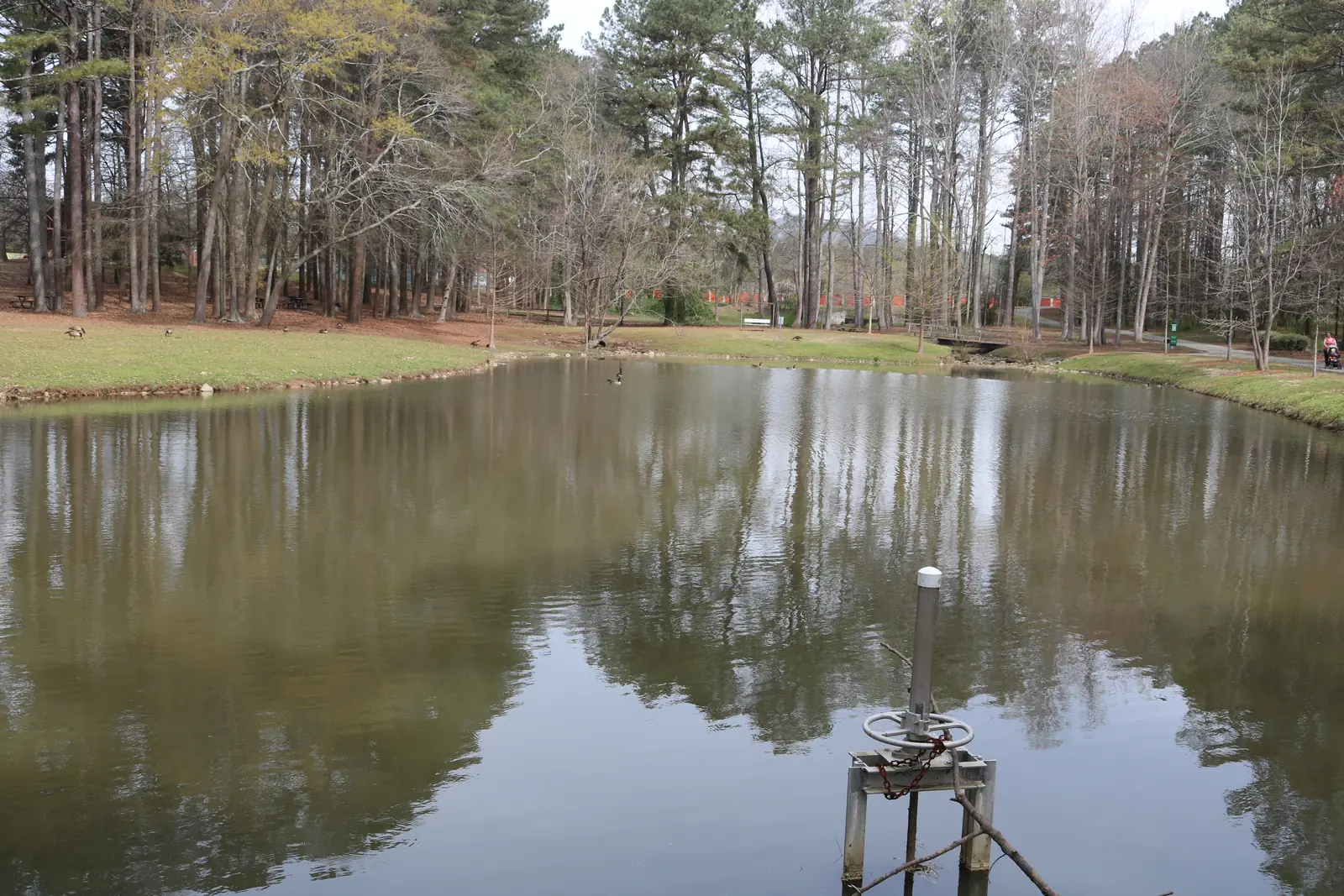
- Laurel Park, 151 Manning Road, 24.68 acres, with a pond.
- Henry Memorial Park, 81 Reynolds St., 2.99 acres.
- Polk Street Greenspace, 390 Polk St., and Kirkpatrick Greenspace, 10 Kirkpatrick Drive.
- Marietta City Club, 519 Powder Springs St., a 120-acre golf course listed in the city’s parks data, on the area’s south edge.
See our parks guide and walking and biking trails guide.
Getting around
- I-75: exit 263, South Marietta Parkway (Georgia 120 Loop), reached along the parkway, or exit 265, North Marietta Parkway.
- Downtown: about 2.2 miles by road from the middle of the area to the Square.
- Airport: Hartsfield-Jackson Atlanta International Airport is about 31 miles by road. Both figures are distances measured on the OpenStreetMap road network with the OSRM routing engine, not drive times.
- Buses: CobbLinc route 15 stops on South Marietta Parkway at Whitlock Avenue and at Crescent Circle, and on Powder Springs Street at Griggs Street, according to CobbLinc’s published schedule data. See CobbLinc’s routes page.
More in our getting around guide.
Groceries and everyday stores
From OpenStreetMap, inside the city limits along Whitlock Avenue:
- Lidl, 670 Whitlock Ave.
- Poole’s Pharmacy, 660 Whitlock Ave.
- Kroger, 1000 Whitlock Ave., at Burnt Hickory Road
How we drew this area
The in-town end follows the Whitlock Avenue National Register district and the Whitlock and Marietta Walk polygons in the city’s neighborhoods layer. West of those, the area is the city’s parcels between the Northwest Marietta and Powder Springs Street areas, out to the city limits. Edges are approximate. School and ZIP shares count every parcel in that area in the city’s parcel data on Oct. 5, 2026. Store locations are © OpenStreetMap contributors.
Frequently asked questions
What ZIP code is Whitlock Avenue in Marietta?
ZIP code 30064, for 99% of the parcels in this area in the city’s parcel data. Zillow put the typical home value in 30064 at $494,697 in August 2026, down 0.38% in a year.
What elementary school serves the Whitlock Avenue area?
A.L. Burruss Elementary, at 325 Manning Road, is zoned for 75% of the area’s parcels in the city’s parcel data. Hickory Hills Elementary serves 18% and West Side 6%. Marietta High is on Whitlock Avenue itself.
What is the Whitlock Avenue Historic District?
A National Register district of about 82 acres along Whitlock Avenue west of the Square. Its nomination says the houses range from antebellum times to the mid-1930s, from Greek Revival mansions to Victorian town houses and smaller dwellings.
What park is near Marietta High School?
Laurel Park, a 24.68-acre city park at 151 Manning Road, is near both Marietta High and A.L. Burruss Elementary, according to the city’s parks map data.
Have your say